TOP TIER
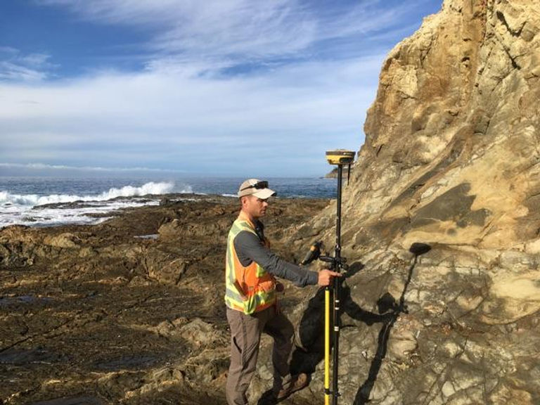
Land Surveying
WE ARE BOOKED THROUGH AUGUST 2026
FEMA LOMA (Letter of Map Amendment)
A LOMA will save a homeowner THOUSANDS of dollars in flood premiums over the life of the loan
The FEMA Flood Maps are often based on data that was obtained decades ago and does not take into account the actual elevation of the individual structures on the map. A Licensed Land Surveyor can provide FEMA with an accurate depiction of what the true elevation of the structure is in relation to the Base Flood Elevation that FEMA has established.
What is involved:
*Research of the property records and flood mapping data
*A site survey by a Licensed Land Surveyor
*Preparation of a FEMA Elevation Form
*Drafting of a Topographic Map showing flowpaths
*Compiling all documents and submitting a request to the FEMA Mapping Department for an amendment of the current flood maps
Once the package is submitted to FEMA, it takes one to six weeks to receive a response
